


La Sône le sentier du martin pêcheur

alinetpierre
User
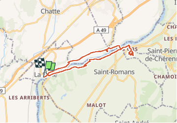

Length
14.4 km

Max alt
268 m

Uphill gradient
306 m
Km-Effort
18.4 km

Min alt
166 m

Downhill gradient
307 m
Boucle
No
Creation date :
2025-01-15 10:37:50.0
Updated on :
2025-01-15 14:44:48.827

FREE GPS app for hiking
 SityTrail
IGN / Geographical institutes
SityTrail Plus
The world is yours!
About
Trail of 14.4 km to be discovered at Auvergne-Rhône-Alpes, Isère, La Sône. This trail is proposed by alinetpierre.
Description
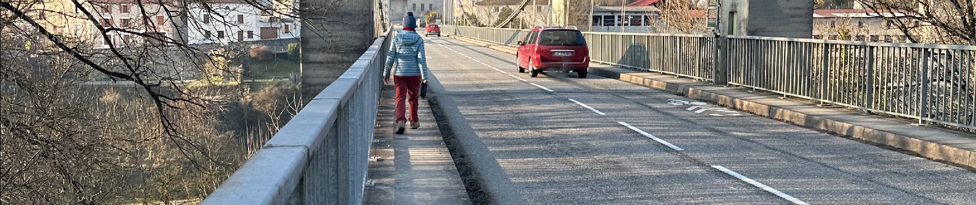
Belle randonnée, attention un peu de route avant le pont de Beauvoir.
Photos


23 photos in total. Please click on a photo to see them all in the gallery.
Positioning
Country:
France
Region :
Auvergne-Rhône-Alpes
Department/Province :
Isère
Municipality :
La Sône
Location:
Unknown
Start:(Dec)
Start:(UTM)
679105 ; 4997705 (31T) N.
Comments